Created by Jingqi Lu
Source ↗
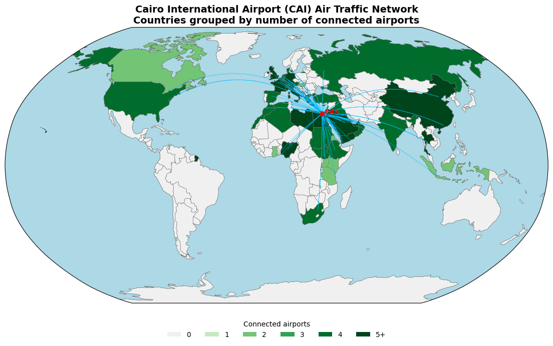
This thematic map visualizes the global air-traffic network originating from Cairo International Airport (CAI).
Countries are colored by the number of connected airports, with darker greens indicating denser connections.
Flight paths are drawn as great-circle arcs, revealing Cairo’s centrality as a hub bridging Africa, the Middle East, and Europe.
The visualization highlights both geographic reach and the asymmetry of global air connectivity — where aviation networks mirror economic and regional interdependence.