Created by Jingqi Lu
Source ↗
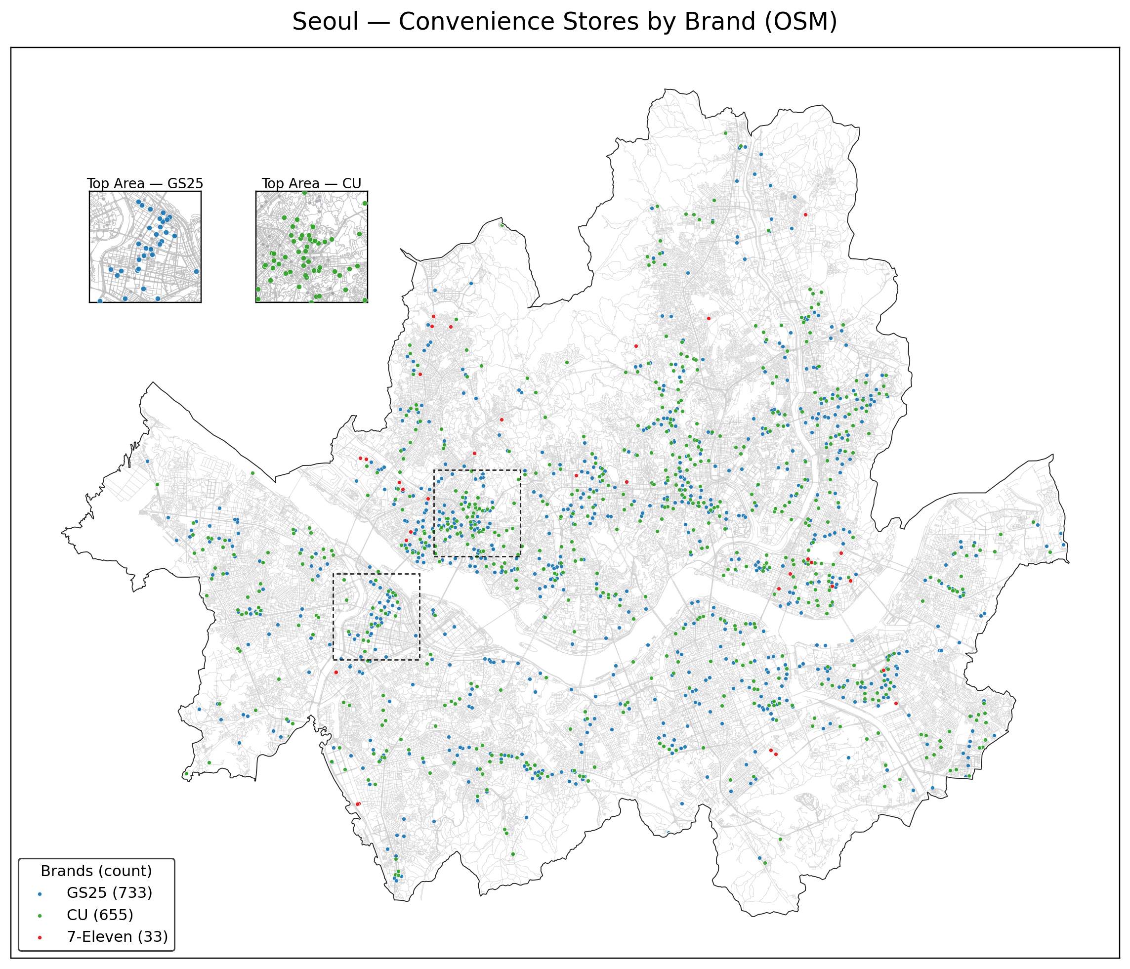
This sprint map shows convenience stores by brand across Seoul, using OpenStreetMap POI data.
Each point is a store, symbolised by brand: GS25, CU, and 7-Eleven. Counts in the legend reveal how dominant GS25 and CU are compared with the much rarer 7-Eleven locations.
Two inset panels highlight the densest clusters for GS25 and CU, making it easier to see local competition patterns that get visually crowded at the city scale.
Cartography
- Basemap: light grey street + building network for orientation, kept low-contrast.
- Symbols: small coloured point markers by brand, with subtle outlines to avoid overplotting in dense areas.
- Insets: zoomed-in boxes tied to dashed rectangles on the main map, one for GS25, one for CU.
- Title + legend anchor