Created by Jingqi Lu
Source ↗
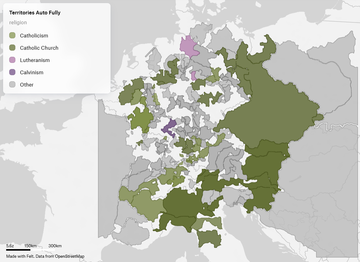
This map is an experiment with Felt as a new mapping tool, re-drawing theconfessional geography of Central Europe. Each polygon represents a territoryand is coloured by its dominant religion:
- Dark green – Catholicism
- Light green – Catholic Church (ecclesiastical territories)
- Pink – Lutheranism
- Purple – Calvinism
- Grey – Other / mixed
Together these patches form a dense religious mosaic: a broad Catholic bloc inthe Habsburg lands and Poland–Lithuania, Lutheran territories stretchingacross northern Germany and Scandinavia, and smaller Calvinist pockets in theGerman southwest and Low Countries. Large grey areas mark territories that donot fit neatly into a single confession in the underlying dataset.