Created by Ming Cao
Source ↗
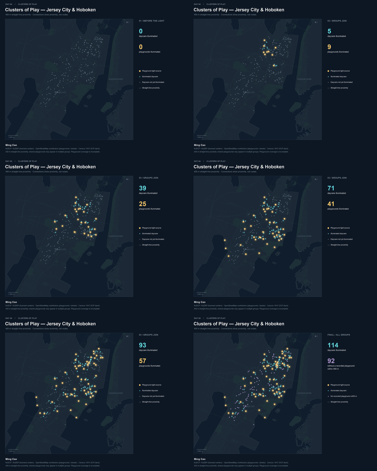
Day 4 (Clusters): Clusters of Play animates the proximity between 62 mapped playground locations and 206 licensed child care centers serving preschool ages in Jersey City and Hoboken. Golden playgrounds light up, connections grow, and nearby centers glow cyan. In the final view, 114 centers fall within 400 meters of at least one mapped playground; the other 92 appear purple. Lines show straight-line proximity, not walking routes or institutional relationships. Incomplete playground coverage and geocoding uncertainty limit interpretation.
Data sources:
- Child care centers: NJDCF Office of Licensing records, published through the NJDEP Child Care Centers GIS service. Source records dated October 6, 2026; acquired November 3, 2026. The selection excludes centers serving only ages 6–13.
- Playgrounds and background streets: © OpenStreetMap contributors, reused from project caches, under ODbL 1.0.
- Background boundaries: US Census Bureau, 2024 Cartographic Boundary Files, 1:500,000, and NYC Department of City Planning, Borough Boundaries (26b, excluding water).